News & Stories

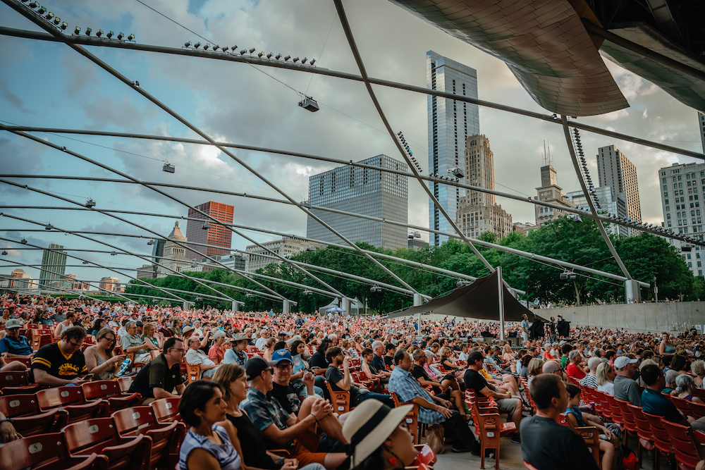
Anwar Nasir Named Festival President and CEO
Read post: Anwar Nasir Named Festival President and CEO
Welcome to Our New Musicians
Read post: Welcome to Our New Musicians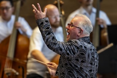
Christopher Bell Celebrates 25 Years
Read post: Christopher Bell Celebrates 25 Years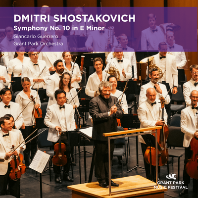
New Release from the Grant Park Orchestra
Read post: New Release from the Grant Park Orchestra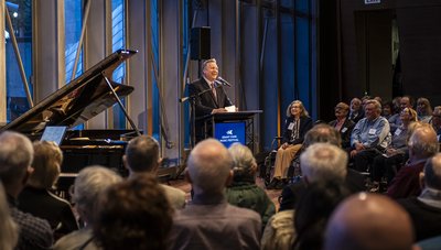
Paul Winberg Awarded Nikolai Malko Award
Read post: Paul Winberg Awarded Nikolai Malko Award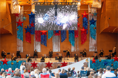
Celebrate America250
Read post: Celebrate America250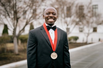
Medal of Excellence to Principal Percussionist
Read post: Medal of Excellence to Principal Percussionist
Meet the Festival's 2026 String Fellows
Read post: Meet the Festival's 2026 String Fellows